Research · Completed course project
Lekkere Stad: mapping Amsterdam
A map I made as a student at the 2023 MIT Senseable City Lab summer school with AMS Institute, setting air-quality readings beside Amsterdam’s buildings and street observations.
- Use
- A public map for reading air-quality readings beside Amsterdam's buildings and street observations. A course exercise: not calibrated, and not a city-wide exposure estimate.
- Where the work stands
- This is a summer-school exercise using course and third-party datasets. The map does not establish sensor calibration, city-wide exposure or causal relationships between street features and air quality. Its widgets are dataset summaries, not verified counts of distinct people, bicycles or buildings.
Fig. 1 of 2
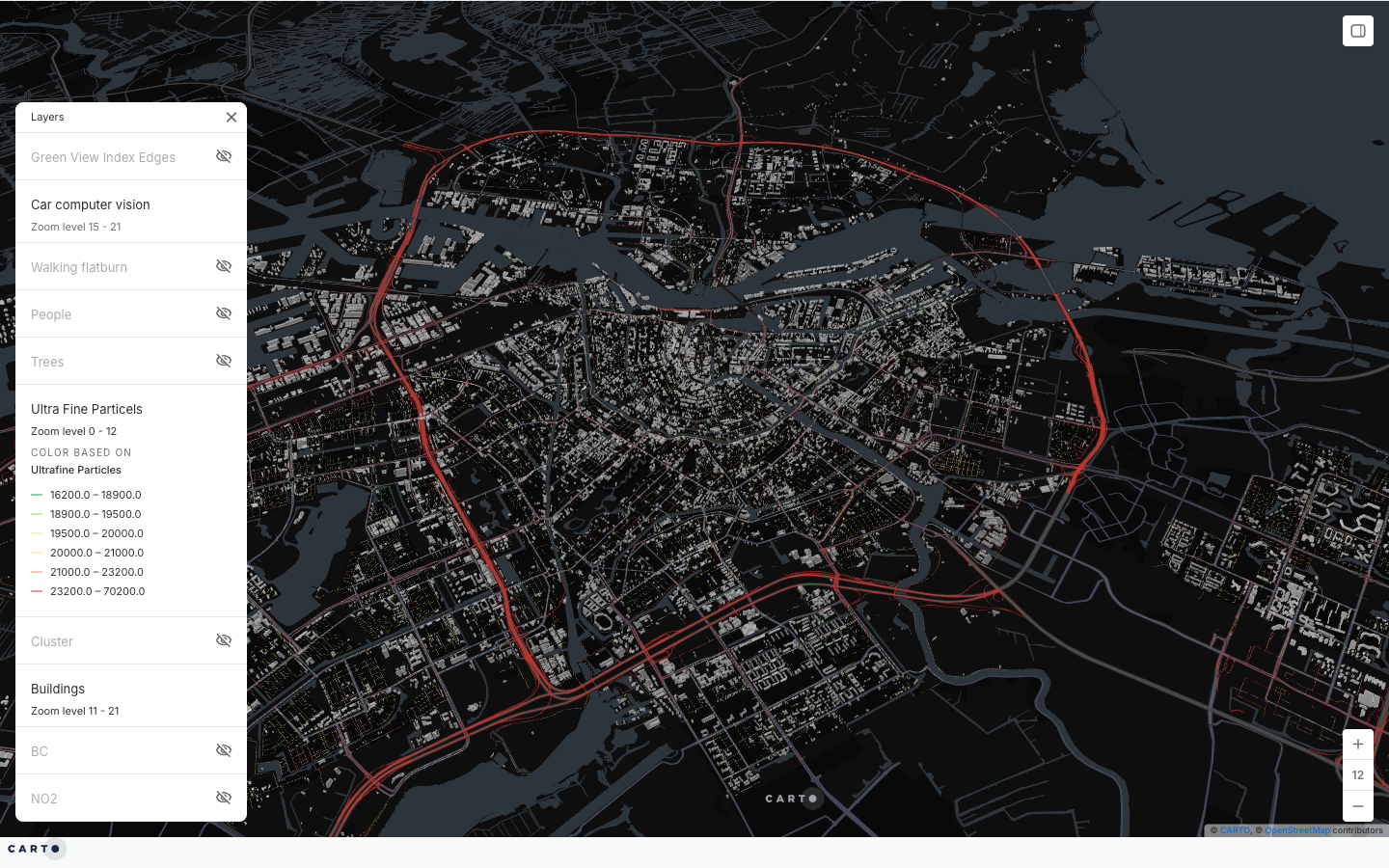
Fig. 2 of 2
- My role
- Student and map author
- Period
- 2023
- Status
- Completed course project
- Focus
- Amsterdam
The question
How can environmental readings collected along city streets be explored alongside buildings and observations of everyday street life?
My contribution
During the 2023 MIT Senseable City Lab summer school with AMS Institute in Amsterdam, I attended as a student and created Lekkere Stad, an interactive CARTO map using course datasets.
What exists
A public interactive CARTO map made from the course datasets.
- A public map titled MIT Summerschool, Senseable Amsterdam Lab, Lekkere Stad, created in August 2023.
- An Amsterdam building layer alongside computer-vision street observations.
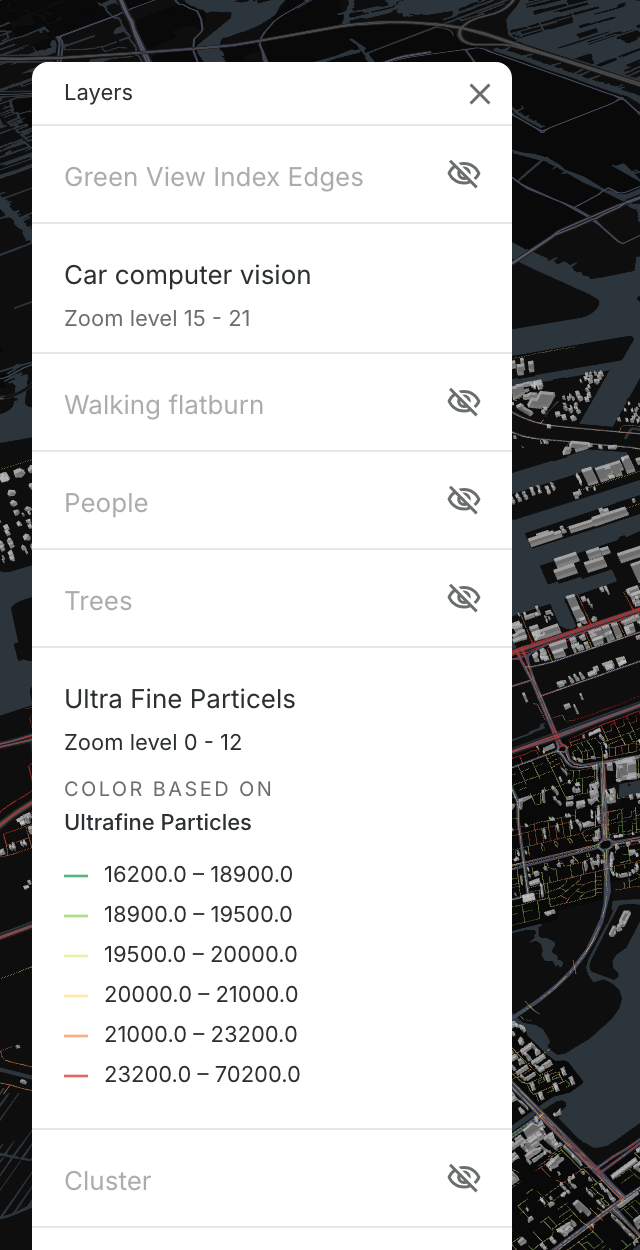
- Environmental layers for ultrafine particles, black carbon and nitrogen dioxide, plus an optional Green View Index layer.
- Layer controls and widgets for exploring the course datasets.
Explore the work
- Project website
Lekkere Stad: interactive Amsterdam map (opens in a new tab)
Public CARTO summer-school map, using course and third-party datasets.
- Project website
AMS Institute: the 2023 MIT summer school (opens in a new tab)
Programme context: Decarbonising Cities and the Social Costs of Climate Change, with mobile environmental sensing.
For clients and teams
Environmental readings to set beside buildings and street observations?
Discuss a projectFor research collaborators
Street-level air-quality or computer-vision data to explore?
Discuss a research collaboration